
Satellites lend confidence to report of Antarctic ice loss
By the late 1990s, scientists had reason to believe that the ice sheets covering Antarctica and Greenland, which hold more than 99 percent of the world’s fresh water, were on balance shedding more ice than they were accumulating. Data was gathered mainly by planting stakes in the ice to measure snowfall (input), then attempting to gauge how much ice was lost (output) where glaciers emptied into the sea.
Jay Zwally, NASA’s chief scientist for the study of Earth’s frozen places, figures that the estimates of the balance of this input and output at the time were accurate to within 25 to 30 percent.
A June paper in the journal Nature, “Mass Balance of the Antarctic Ice Sheet from 1992 to 2017,” shows how satellite altimetry and gravity measurements have given scientists newfound confidence in their ability to chronicle the melting of ice sheets with precision.
Zwally thinks the accuracy has now been narrowed to within about 5 percent.
That accuracy is important, given the paper’s alarming conclusion that from 2012 to 2017, Antarctica on balance shed ice at an annual rate that was three times higher than the average annual rate of loss for the prior two decades. The authors also estimate that sea level rose 7.6 millimeters over the course of the 25 years of data. NASA, in a press release, noted that if all the ice on Antarctica melted, sea level would rise by 190 feet (58 meters).
Mass measurements from the Gravity Recovery and Climate Experiment, a joint satellite project by the U.S. and Germany, “dominated” the findings, says Erik Ivins, a senior research scientist at the NASA-funded Jet Propulsion Laboratory in California. He is co-lead on the Ice Sheet Mass Balance Inter-comparison Exercise, or IMBIE, an international effort to apply various kinds of satellite data to the task of measuring ice cover and its impact on sea level. The IMBIE team wrote the Nature paper.
The first pair of GRACE satellites, launched in 2002, passed microwave range-finding signals between each other and proved it was possible to track changes in the mass of terrain features over time. As the lead satellite approached a more massive feature such as an ice sheet, the gravity from the feature pulled the satellite slightly farther ahead, until the trailing satellite, 137 miles (220 kilometers) behind, felt the gravity of the land mass and caught up. The original GRACE stopped working in 2017, and GRACE Follow-On was launched in May. Its microwave range-finder was undergoing its planned checkout phase in June, with a laser range-finder also onboard for testing.
Among the altimetry readings, the European Space Agency’s CryoSat-2 was “extremely important, as it is specifically designed for Antarctica and Greenland,” says NASA’s Ivins, referring to a satellite that bounces radar waves off the ice.
For part of the study period, the scientists also analyzed data from NASA’s Ice, Cloud and Land Elevation Satellite, or ICESat.
From 2003 until 2009, it measured the ice height by bouncing laser light off the surface to produce more accurate readings than is possible with radar, whose signals can penetrate ice. For ICESat-2, scheduled for launch in September, NASA has increased the laser pulses from 40 per second to 10,000 per second, or every 71 centimeters along the Earth, and bolstered the configuration to three pairs of laser beams. Without a laser altimeter in orbit, NASA has been gathering altimetry readings by aircraft in a project called Operation IceBridge.
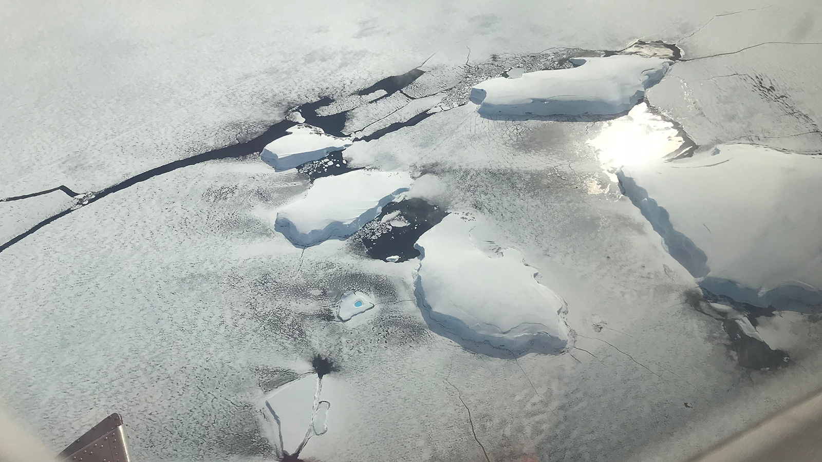
In the photo by Andrew Shepherd of the University of Leeds, is an iceberg with a melt pond in the Bellingshausen Sea in Antarctica.
