Safely moving cargo and passengers among buildings and just over treetops will require unique weather information. Keith Button looks at ideas for collecting and delivering the required forecasts and real-time knowledge of conditions.
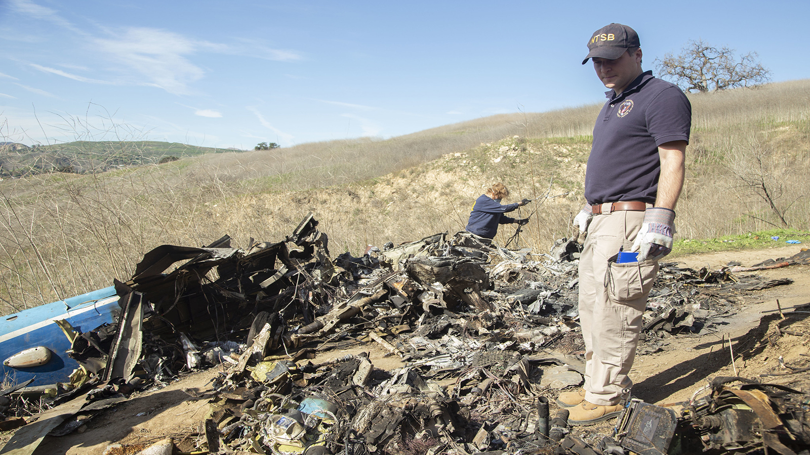
The helicopter crash that killed basketball great Kobe Bryant and eight others was a tragic example of the dangers of flying at low altitudes, which is exactly the regime where legions of electric rotorcraft might one day carry us to work or to the airport or to an evening out under the coming advanced air mobility revolution. In the Bryant case, the pilot of the Sikorsky S-76B pressed on rather than turning around when he encountered fog, became disoriented and flew into a hill.
Today’s helicopter pilots make such life-and-death decisions, including whether to take off in the first place, based largely on their own observations. That decision-making process won’t be possible in a future with hundreds or thousands of remotely piloted or autonomous AAM passenger and cargo aircraft sharing tight flight corridors.
NASA’s Nancy Mendonca, the agency’s deputy for its AAM research efforts, flew H-46 helicopters for the U.S. Navy from 1989 to 2000. The meteorology reports she received were very broad — typically covering an area as large as half the Atlantic Ocean. “You’re really limited to the weather you can see out the window.”
TruWeather Solutions CEO Don Berchoff describes the situation in even franker terms: “If you look at the helicopter industry, they’re the bastard child. They’ve never been given the type of weather tools or sensing that they need. And that’s why there’s such a high accident rate.”
The scarcity of granular weather data and forecasts for low-altitude flights is no accident. Flights of fixed-wing airliners have historically far outnumbered flights of helicopters and other low-altitude passenger aircraft, and those jets cruise altitudes at tens of thousands of feet, which puts them above the worst weather. Their greatest risk of encountering dangerous weather is closer to the ground, during ascent and descent, and for that reason the bulk of the aviation weather sensors in the United States are focused on monitoring and predicting the weather around airports.
Troubling for the AAM community is that the vast areas between airports up to an altitude of 5,000 feet amount to a weather “data desert,” says Berchoff. For those who cruise in those places, the thinking has always been: “There’s a pilot [aboard] and they’ll get out of it,” he adds.
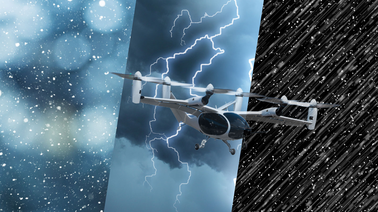
That status quo won’t do for the emerging $115 billion AAM rotorcraft market. These aircraft must take off from vertiports built on city rooftops, vacant lots or undeveloped parcels, then fly among tall buildings or hills and over treetops and roads. Along these routes, winds can vary greatly in strength; precipitation can be rain in one area, and then later turn to sleet, freezing rain or even snow. In these challenging weather scenarios, flights will need to be regularly scheduled and conducted at a rapid tempo and, eventually, if all goes as planned, autonomously without a pilot aboard. Otherwise, the business case might not close. Weather delays and cancellations must be held to a minimum, and in the case of scheduled flights, customers will likely expect several hours notice so that they can make alternate travel arrangements.
On top of that, each aircraft will need to be able to reach a contingency landing site, and anticipating the wind speed and conditions will be vital to ensuring the aircraft has adequate range. Most of the AAM concepts call for lithium batteries that will drain faster when it’s cold and winds are gusty, says James Jones, an air transportation operations researcher at MIT Lincoln Laboratory.
Simply put, an AAM operator with access to detailed weather information will be able to confidently push out more flights, while an operator who lacks that information could become overly conservative, cautions Brenda Philips, a research professor at the University of Massachusetts Amherst. The best-prepared operators will have analyzed how many flights they can complete in bad weather, taking into account the vehicle type and its mission, she adds.
In this view, business success and the growth of the AAM market will require achieving the same quality of weather awareness and forecasting available to operators of large commercial aircraft. Here are four ideas, none of them mutually exclusive, for meeting the challenge.
1) Specialized radars and lidars
Aviation weather reporting in the United States currently relies heavily on a network of 160 NEXRAD (Next-Generation Radar) Doppler radars and 45 shorter-range Terminal Doppler Weather Radars, operated by the FAA at major airports, which operate at a shorter wavelength and offer higher resolution than the NEXRADs. But not much of the zone up to 1,500 feet can be covered by these radars. That’s because the straight-line beam of a radar becomes higher and higher off the ground as the Earth curves away, so the radars see less of the lower atmosphere the farther out they reach. NEXRADs, for example, take measurements of the 1,500-feet-and-below region for only 40 kilometers. Unless an AAM route happened to pass near an airport or other radar location, the pilot or automated flight computer could not receive a radar picture of any precipitation ahead.
For better weather radar coverage for AAM, researchers are studying how smaller, shorter-range radars installed on rooftops and cell towers could fill in the low-altitude gaps.
Among them are researchers at the Massachusetts-based Center for Collaborative Adaptive Sensing of the Atmosphere, which originally set out to create a network for community emergency weather warnings. CASA operates a demonstration network of seven X-band radars with overlapping coverage in the Dallas-Fort Worth area, each with a range of 40 to 100 kilometers. CASA feeds data from each radar to the National Weather Service, which sends forecasts and weather warnings back to users of a free CASA phone app. The app displays customized weather information, such as flash flood warnings in the Dallas-Fort Worth area.
The data and resulting forecasts are very localized, down to a nearly street-intersection level, says the Amherst professor Philips, who is CASA’s co-director. The technology that the researchers developed to deliver the customized weather information to a moving object — a person’s cell phone — could be applied to a moving AAM aircraft as well, sending it data based on predetermined preferences for that individual vehicle.
A somewhat similar weather service at some airports, namely the Automated Weather Observing System, might also inspire an innovation for AAM. This FAA-operated equipment transmits airport weather reports every minute from sensors at the airport to pilots and weather forecasters, including the cloud ceiling height, visibility, the presence of fog or precipitation, and icing conditions out to 8 kilometers of the airport. In theory, vertiports could be equipped with similar sensors and transmitting equipment to cover the nearby airspace.
Of course, each AAM aircraft also will be susceptible to wind, depending on its design, not just to precipitation and the risk of icing. Radars can’t detect wind speed and direction when there is no precipitation in the air to reflect their signals. A solution could be Doppler wind lidars, which don’t have the same problem because they need only aerosols to reflect their signals, and aerosols are usually present at low altitudes, especially in urban areas. Lidars can measure winds at high resolution, for every 20 meters in a 5- or 6-kilometer radius. And when two lidar fields overlap, they can discern wind direction.
None of these sources would come cheaply. Each CASA radar cost $400,000. As for lidars, even a middle-of-the-road version costs $250,000 to $500,000, and to cover a city with sufficient resolution would require 10 to 20 of them, says Timothy Bonin, a meteorologist at MIT Lincoln Laboratory. That leads us to the next idea.
2) Crowdsourcing
Internet-connected cameras and other sensors could provide inexpensive access to a host of weather data. Berchoff of TruWeather leads a committee of the U.S.-based standards group ASTM charged with recommending weather data standards for drones. He would like to change the emphasis of the standards away from certifying weather instruments, as is done with those at airport weather stations, one factor that drives up costs. For example, a certified weather station at an airport can cost $120,000 to $250,000.
Instead, he would like the FAA to set standards for weather information that will guide drone flights based on data reliability, which he says would “open the spigot” for operators to access many types of low-cost, internet-connected weather sensors. More people would invest in building and deploying weather sensors, because they could then sell the sensor data. The cost of the data for the AAM operators would be driven down as they fly more and more flights.
Micronets of 40 or 50 weather sensors spread across a city — each consisting of a thermometer, a hygrometer measuring humidity and an anemometer measuring wind speed and direction, all mounted on a pole — could help fill in a gap in weather radar coverage for the coming new class of aircraft, says Lincoln Lab meteorologist Bonin.
For reporting on flying visibility, existing video camera networks could be paired with artificial intelligence, Bonin says. If a camera were aimed at a distant object, and if the distance to the object were known, then software could report when the object disappeared due to fog or precipitation, and this visibility figure could be shared with operators. Meanwhile, cameras aimed at roads could help report when snow is falling via software that interprets when surfaces turn white. Cameras with artificial intelligence could also be cheap to deploy, piggybacking on traffic cameras or security cameras that are already in place.
Another cheap option would be to tap into weather hobbyists who, like Bonin, have their own backyard weather stations and post their weather data — temperature, humidity, wind speed and direction, and rain or snow accumulation — to websites like Wunderground.com, which claims a network of more than 250,000 contributors worldwide who automatically post their data every few seconds.
3) Weather drones
Today’s large commercial aircraft are required to carry weather sensors that contribute to the World Meteorological Association’s Aircraft Meteorological Data Relay, AMDAR, observing system, which provides real-time in-flight readings to government and private forecasting services. The downside of AMDAR is that most of the time the sensor-carrying planes are flying at 35,000 to 40,000 feet — altitudes where there are few weather features.
“All of the interesting stuff is when they’re on climb or descent,” says Jamey Jacob, an aerospace engineering professor at Oklahoma State University.
But the general idea could be adapted to aircraft that fly at low altitudes. Among the advocates of this approach is Matthias Steiner, who directs research into weather impacts on aviation for the National Center for Atmospheric Research in Colorado. Steiner wants even small drones to be required to carry weather sensors, not only to improve weather forecasting for aviation but for society as a whole. He argues that the requirement would be a small ask, considering that a miniature temperature, pressure and humidity sensor is smaller than a quarter, weighs one-fifth as much as the coin and costs less than $20.
Jacob is testing that concept. He leads a NASA-sponsored team of aerospace engineers, meteorologists and atmospheric scientists on a project dubbed Weather Intelligent Navigation Data and Models for Aviation Planning, WINDMAP. They are studying how AAM aircraft could improve weather observations and forecasting by carrying weather sensors and sharing the data.
Aircraft would collect data as they go about delivering passengers and cargo, or some might fly with the sole mission of collecting weather data. AAM operators would benefit by receiving more and better information about conditions that could disrupt their flights, such as fog, icing and winds. Weather forecasters could feed more data on temperature, humidity, atmospheric pressure, wind speed and wind direction, including vertical winds, into their models to improve their forecasts, particularly for severe weather. And AAM operators could receive higher-resolution forecasts — at the kilometer level instead of the current 30-kilometer-plus level of most forecast models.
Starting in March, WINDMAP plans to collect weather sensor data with swarms of drones flying from FAA test sites at the Choctaw Nation in Oklahoma and at the Virginia Tech campus, and then in June from an Oklahoma City urban test site. The project team will then compare the accuracy of sensor data to readings from National Weather System ground towers, weather balloons and lidars. Researchers will try replicate real-world conditions by putting sensors on a variety of aircraft: small drones, large cargo-carrying drones and drones built to simulate passenger-carrying AAM vehicles, complete with dummy passengers.
Jacob grew up in Oklahoma, where he says every resident has an innate interest in weather, and a healthy respect for it because of the state’s severe storms, including tornadoes. WINDMAP chose Oklahoma for its testing in part because it has more than 100 ground stations continuously sending readings to the National Weather Service.
But for weather readings from the air, a lot of the data in Oklahoma still comes from weather balloons launched by the National Weather Service from a single site, usually twice a day, or three or four times per day when severe weather is expected.
“If you think about how rapidly the weather can change, that’s a real paucity of information you’re getting,” Jacob says.
Already, the WINDMAP team has demonstrated that flying a weather drone multiple times per day to the FAA-mandated 400-foot limit at each National Weather Service ground station would greatly improve its forecasting, Jacob says. Even drones as small as a 1-kilogram DJI Phantom quadcopter could provide useful sensor data.
4) Modeling and simulation
Current weather forecasting computer models don’t take into account the winds created by the funneling and channeling effects of tall buildings, or the turbulence eddies and vacuums created on the down-wind side of a building, says Berchoff of TruWeather. Flying through these urban canyons will be particularly daunting for AAMs. Forecasters will have to build computational fluid dynamics models to predict those types of winds, plus algorithms that can determine how changes in the weather will change the building-related winds.
To safely land at vertiports, and even to plan where vertiports should be built, AAM operators will need to know where the winds are blowing from, the strength of the winds and the influence of neighboring buildings, says Steiner of NCAR. To capture the fine-scale flow features of winds in urban environments, researchers need models that could produce predictions every few minutes at a few meters resolution.
Researchers who are developing weather models that could be applied to AAM flight environments also need more actual weather data from local
weather sensors, which they could then compare to the data produced by their models and fine-tune the models. The resolution of the models — how much detail they show — is also an issue for localized AAM weather prediction in general. NOAA’s High Resolution Rapid Refresh weather prediction model reports on the predicted weather in the contguous U.S. states within every 3-kilometer-wide cell in a grid covering the entire country. But the model’s actual resolution, the scale at which it can predict a change in conditions from a neighboring area, is closer to every 12 or 15 kilometers, Bonin says.
NCAR has been developing a model, called FastEddy, that employs GPU-based computing power to create simulations of urban environments, including wind eddies around buildings, down to a 1-meter resolution, Steiner says.
Machine learning could apply the modeling and data that are now available to help identify where the hazardous conditions are for AAM operators, says Lincoln Lab’s Bonin. For example, machine learning could be applied for an area of a city where weather data is sparse and help fill in the gaps in a low-resolution weather model of that area.