Maxar describes its role in Bucha revelations
COLORADO SPRINGS, Colo. — Satellite image company Maxar Technologies drew attention around the world this week as its photos provided critical evidence that mass killings of civilians in the Ukrainian city of Bucha must have occurred when Russian forces were occupying the territory.
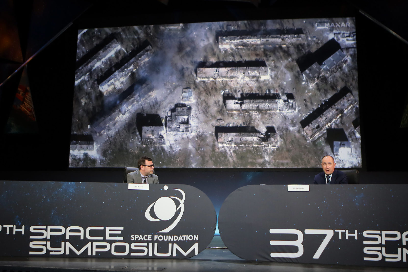
When Russia began its invasion of Ukraine on Feb. 24, “we did ramp up our efforts to collect more data and to make sure that was available for the U.S. government and its allies,” Maxar CEO Daniel Jablonsky said during a panel discussion at the Space Symposium. “We also made a lot of 3D-capability available as well and tried to make that more situationally relevant to lead to the NATO allies that are working with the data.”
Even before the war, Colorado-based Maxar had emerged as major provider of imagery for U.S. national security. It is in the second year of a three-year contract valued at $176 million to provide imagery to the U.S. National Geospatial-Intelligence Agency, for example.
Its satellite fleet consisting of Geoeye-1 and three generations of WorldView spacecraft scans and records many areas of the globe daily. In particular, the WorldView-3 provides imagery with a resolution of 32 centimeters. from an altitude of 617 kilometers.
Though Maxar makes some images publicly available, the company also provides exclusive access to much of its catalog to the U.S. and its allies. It also releases certain images to media outlets or human rights organizations investigating stories like the Ukraine invasion.
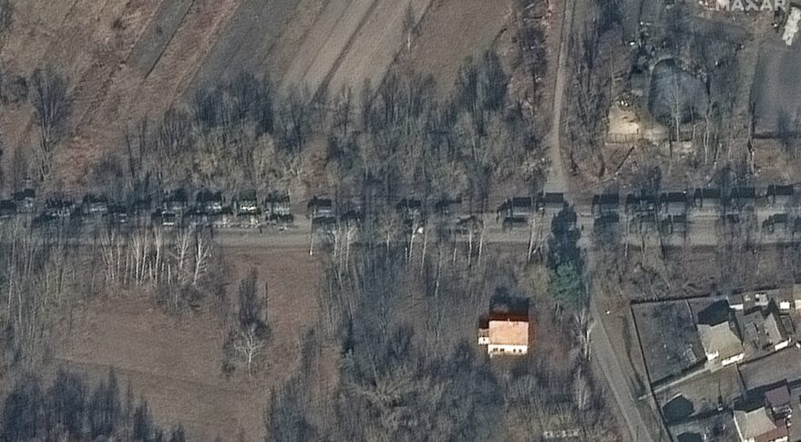
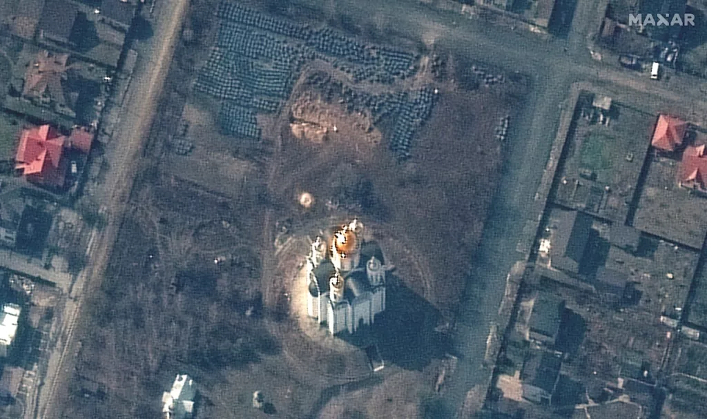
On Monday, the New York Times published a story using Maxar imagery to support reports of mass graves and bodies lying in the streets of Bucha, a western suburb of Kyiv. Some images dating to mid-March also appeared to refute Russian claims that the reports of such atrocities had been faked after Russian forces withdrew around March 30.
“In terms of the publicly available aspect of it, I think Maxar has always taken a responsible approach to how we work with that,” Jablonsky said. “I’m very thoughtful and public about how we’ve worked with media outlets that I think helped tell relevant stories to people across the globe. Right now, we’re working with 140 media organizations on real-time analysis.”
The huge amounts of data have prompted Maxar to develop new artificial intelligence methods to analyze images and spot relevant details, he said.
Such tools allow Maxar and its customers “to actually pick up insights really quickly to not only see if there are tanks in the city or not, but understand what kind of tank it is, where they are, where they’ve been lately and now how that affects your decision making,” Jablonsky said.
While immediacy is crucial in current conflicts, Maxar’s library of images is also valuable, he said.
“Sometimes when we’re not sure what’s going on, we can go way back to see what happened in the Sudan conflict 10-plus years ago, or when the Uyghur atrocity took place,” he said.