
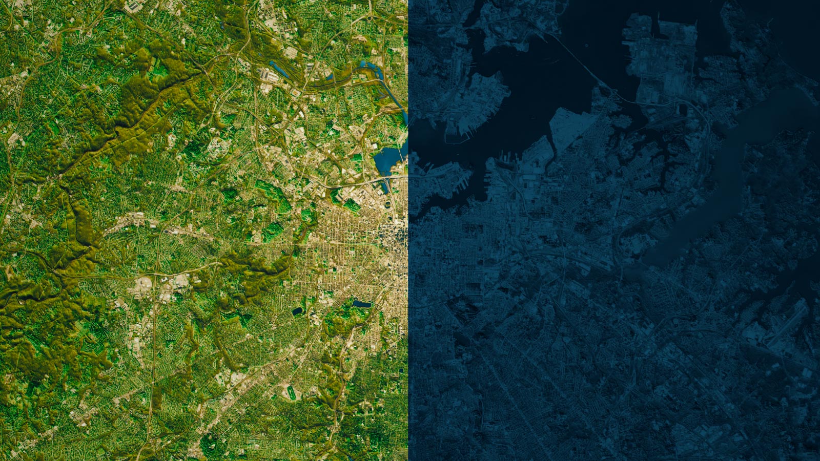
Finnish startup ICEYE stunned the space industry in 2018 by publishing imagery from a dishwasher-sized synthetic aperture radar satellite. Until then, conventional wisdom held that SAR imagery could only be collected by car-sized satellites, and there were not many of them, at least in the commercial world. There was a four-spacecraft constellation funded by Italy, a Canadian satellite and a German one. Today, half a dozen startups around the world operate small SAR satellites whose numbers could exceed 100 within a couple years. For customers, the attraction of radar is the ability to image targets at night and in nearly all weather conditions.
Seeking to apply commercial SAR to its role of “making intelligence possible,” the U.S. National Reconnaissance Office, which operates its own radar satellites, in early 2022 began purchasing commercial SAR imagery on a small-scale basis. Contracts were awarded to five companies: three in California — ICEYE U.S., a subsidiary created in 2020 for American national security contracts; Capella Space, founded in 2016; and Umbra, founded in 2015 — along with Virginia-based Airbus U.S. and PredaSAR of Florida. In addition to evaluating image quality, the agency has been assessing industry cybersecurity practices, determining how quickly companies can deliver data and purchasing radar imagery for military and intelligence operations in Ukraine and elsewhere.
An open question is how efficiently NRO and the National Geospatial-Intelligence Agency, which tasks NRO and commercial satellites, would deliver imagery once a larger-scale, systematic effort is established.
NRO declined to discuss the SAR acquisition process but provided a statement: “The Executive Branch is working through the process of developing a large-scale commercial radar program. NRO is ready to move forward with an acquisition as soon as a decision has been made. In the meantime, NRO will continue to purchase commercial radar products” for the Defense Department and intelligence community “using our Strategic Commercial Enhancements Broad Agency Announcement contracts” — the same process under which the contracts were awarded to the five companies — “ensuring the users have seamless access to commercial radar as we scale up.”
With a larger-scale acquisition effort on the horizon, I asked four commercial SAR experts one simple question: “What’s your vision of the perfect process for getting commercial SAR products into the hands of U.S. troops?”
Thomas Ager
Author of the 2021 book “The Essentials of SAR” and adviser to ICEYE U.S. Former NGA manager of research and development programs. A former fellow in the Office of the Director of National Intelligence and former vice chair of a U.S. Intelligence Community SAR forum.

I do not claim to know the “perfect” process, but I’m pretty sure it would be like a prototype we built nearly a decade ago to support tactical users and first responders.
I was once the SAR program manager in the NGA Information Technology Directorate. I was responsible for trying to do new things with SAR. We prototyped a lot of wonderful ways to access SAR data easily and process it using apps. After I left NGA in 2013, they started a project called iView, a joint initiative between NGA and the Air Force Research Lab to build a system to order, access and exploit the SAR commercial imagery sources of that time: the Italian Cosmo SkyMed constellation; the German Aerospace Center’s TerraSAR-X satellite; and Radarsat-2, the Canadian Space Agency-MDA Ltd. satellite. I worked on iView as a subcontractor. iView was an imagery storefront. With a prototype budget, we offered browser-based access to a collection-management tool for image ordering, electronic linkage to the SAR vendors that confirmed orders within seconds, delivery of SAR complex data to a cloud server and apps to mess with it interactively. Users could view traditional grayscale SAR images, but they could also use the complex data to quickly make things like color subaperture images that highlight human-made objects.
We completed iView in 2015, and our users from U.S. Southern Command, Joint Interagency Task Force South, the Federal Emergency Management Agency, the Polar Geospatial Center and NGA gave it the most enthusiastic evaluations I have ever seen. Here are two examples:
SOUTHCOM: “Being able to identify accesses and ordering specific images at the constraints we require streamlines the current process by days. It puts the collection management process in the combatant commands’ hands, versus hoping someone else understands your needs and will collect the right location at the right time.”
Joint Interagency Task Force South: “With the right implementation, this system can be the way ahead and the #1 system for collecting and exploiting commercial imagery. In the near future, I would like to see this working with other data. It is easy, user friendly and I would have loved to use this system when deployed to one of the countries that we support. This is the best project I’ve worked on in my collections management career. I sincerely hope this continues … and helps to change and shape the future of GEOINT management.”
Since we completed iView, commercial SAR use has greatly expanded. SAR was once limited to spy satellites and large government-commercial partnerships, but it’s now fully commercial. We’ve got a problem in helping people understand how to use SAR, but the first crucial goal is ordering and delivery that is easy and fast.
Users should be able to order commercial SAR through a website, a single interface with access to all the commercial SAR constellations. It should be linked to Google Earth so that they can draw a box around the area and say, “I need this resolution of this place on this day or as quickly as possible.” You might even be able to say, “I don’t want the whole damn image, because I’m a remote user and I don’t have a lot of communications. Send me this part of it right here.”
Some remote users don’t have access to the cloud. They would get direct downlink, or we would send data via secure file transfer protocol as an image or an image chip, if the image is too big. And we would give people some simple software to do stuff with it. If you’re an advanced user, you can do things with the complex data. Most users just need simple grayscale images.
How much have project ordering code, processing hardware and the cloud improved in the near decade since iView was completed? What are military users doing now to order and access commercial SAR imagery? If SAR is not easy and fast, it loses much of its value.
David Gauthier
Former director of NGA Commercial Operations, where he assessed and contracted for commercial geospatial imagery and data, and former director of NGA’s Office of Strategic Operations, which focuses on strategy, performance and risk. Left NGA in February to become chief strategy officer of GXO Inc., a California-based consulting firm. AIAA senior member.

I’m an engineer. I start with thinking of the technical solution. I will preface this by saying there are two ways to consume commercial SAR. One would be to get the imagery and then exploit that as a military unit. The other way would be to get information derived from commercial SAR, which at NGA we’ve been calling radar commercial analytic services.
A lot of units still want to consume imagery. Today, it’s a hub-and-spoke model. Government procurement and functional managers gather all the imagery, put it in a central library and allow users to pull from that library. It’s not bad, but it’s also too slow for the warfighter because we introduce all these communication delays.
At NGA, we put in place some faster processes for delivering SAR imagery to Ukraine. We allowed the field units to pull directly from company web portals on the internet. Once the imagery was available from the company, it was instantly available to the field unit.
We’re right on the cusp of optical intersatellite links. When those mesh networks get realized in space, the imagery can go from the point of collection to the end user at the speed of light. Optical satellite links and direct downlinks will get imagery to the warfighter faster and more efficiently. Then, the combatant command operations centers will have instant access to the imagery when it’s collected. They can have battlefield situational awareness. Imagery from companies can be aggregate to achieve a less than one-hour revisit rate, and that imagery can then be shared with coalition partners.
That would be how I would technically do the imagery. There’s probably an acquisition solution that is a marketplace model that would allow combatant commands to pre-buy capacity. If they pre-buy it for the warfighter, all of this direct tasking and direct downlink works perfectly.
Keith Masback
aGeospatial intelligence consultant and former CEO of the U.S. Geospatial Intelligence Foundation, a nonprofit group that hosts the annual GEOINT Symposium. A former U.S. Army infantry officer, he oversaw the Army Intelligence Master Plan as the service’s intelligence, surveillance and reconnaissance integration director. Later led NGA’s Source Operations Group, which tasks imaging and missile-warning satellites.

SAR is vital to the conduct of full spectrum of military operations, from tactical to strategic. As an infantryman, I learned the importance of understanding and leveraging the terrain, weather and light conditions. SAR provides that day, night and most-weather assured imaging. Remember that about 70% of the world’s landmass is completely or partially covered by clouds at any given time, and 50% of the globe is in darkness. To me, electro-optical imagery was for planning, and SAR imagery was for operations.
And we ought not be arguing about whether it’s the NRO or the Space Force or whomever acquiring the commercial data. This is a ridiculous ongoing bureaucratic squabble that is taking away precious time, energy and resources from being focused on how to most efficiently and effectively get users — from the foxhole to the White House — the data, information and intelligence they need to accomplish their respective missions.
When I led the Source Operations Group at NGA, our collection managers had been given the new title “source strategists.” The idea was that their overarching expertise in the remote sensing platforms and systems would complement the specific regional and/or functional expertise of an analyst. Source strategists assemble the best mix from the broad array of assets available to solve intelligence problems, thinking through the lens of spatial, temporal and spectral diversity. The absolute least efficient and effective way to approach collection is for an analyst to say, “I want a picture from this satellite at this time.” The analyst is best served by simply registering a requirement: “I’m trying to figure out something about this facility in this country. How should I go about getting the imagery I need?” The source strategist asks questions like, “What type of activity would you expect there? Do activities occur during the day or during the night? What things come there? What things leave from there? Are there any unique pieces of equipment there?” With that context, the source strategist assembles the right tools to gather the data to support solving the problem.
Perhaps the solution is something like this: I’ll establish a baseline by using Planet to get lower-resolution images daily so that I can develop an understanding of what happens there. (This might also be accomplished by high- to medium-altitude drones, if they are available and have access.) Then, because it’s an area with a lot of clouds or because they tend to do things at night, I’m going to use SAR from ICEYE to reveal more about the facility. Then, I’ll use the unique capabilities of the classified overhead systems to round out the source data for the analyst.
When I oversaw this process, there were more requests than capacity. Now, we have gone increasingly from being data starved to being data rich. A related consideration is the availability and means of dissemination. The very best data, information and intelligence delivered too late is often worthless. From an overarching perspective, matching resources available to the requirements used to be rather intensively manual. With machine learning supporting artificial intelligence, it’s become increasingly automated and more efficient.
All that said, this largely ought to be transparent to a military commander. Their intelligence staff translates their operational needs into intelligence requirements. These requirements are analyzed and parsed and move quickly up to NGA, the National Security Agency, the Defense Intelligence Agency and others.
Newer commercial technologies like onboard processing, data centers and laser crosslinks in space will help shrink timelines. For instance, does the commander even need the picture or just the answer to their question? If the Army has identified a target for a hypersonic missile, before they hit fire, they may simply need to know if the target is still there. That image can be captured from space, crosslinked, processed and analyzed in space. The only thing that needs to come down is the answer, “Yes.” Then, they hit fire. An image is collected shortly afterward for battle damage assessment analysis. That determines whether the strike had its desired effect or if a re-strike is required.
Todd Master
Chief operating officer at Umbra, a SAR company founded in Santa Barbara, California, in 2015. A former U.S. Air Force Reserve officer assigned to the Defense Intelligence Agency and NRO, he was a DARPA program manager and a mission systems engineer at Orbital ATK, now part of Northrop Grumman. AIAA senior member.

The internet is the simplest way to get that data to the field, even in a deployed fashion. Basically, our system would get tasked, and data would get processed and put into the cloud. Then, users could access it. For military users, it’s a question of latency. Internet access will have some latency associated with it because it has to get to the internet and then back to the user.
What if you need it faster? Does it make sense to have the data transferred through space without ever touching the commercial cloud? That is definitely the lowest latency, from a direct-to-user standpoint. A lot of people are very eager to jump to that concept of operations, but that requires some integration upfront with those users to make sure that they have the ability to task the spacecraft and to get the data back. That is something we are working on. There are definitely applications where that is desirable. It can provide things like over-the-horizon remote sensing for a single asset like a carrier that wants to task a satellite and know when the data will come back.
I think we should use it when it’s appropriate. If you want to send data to a military weapon system that’s in flight, that’s probably the only thing that makes sense. But if you’re trying to send data to an intelligence cell at the center, you may not need that. I want to make sure that we’re not overlooking the fact that the internet is a ubiquitous and powerful thing that offers a lot of opportunities to get data where it needs to go.
The best way to get data has a lot to do with the mission that you’re trying to accomplish. What is the latency of the need for that data? Users will always want to drive to low latency. But the difference between seconds and minutes makes a huge impact in terms of which architecture you can use.
It doesn’t necessarily make a ton of sense today to give users direct access to spacecraft when you have a small number of assets across the commercial constellations. It’s in the low number of dozens. As that increases to hundreds of commercial satellites, it starts to get more interesting. You can imagine a case where any user can task any spacecraft and get the data back directly without even touching the internet. It’s a little hard to envision today, but it creates new mission applications as you look to the future.
People ask, “Why would we need that? Where’s the commercial use case that overlaps with that?” Higher-speed data access and improvement in data is always desired by commercial and government users. Think of it like GPS. GPS was good enough before we released it down to the meter or centimeter level. Now, look at all these commercial applications. It may not be immediately apparent today why you would want direct tasking to a SAR constellation and direct data downlink. There are probably unforeseen advantages in both the commercial market space and the military market space.
